![Item #1079 [CUBA] Natsional’nyy atlas Kuby [i.e. National Atlas of Cuba]](https://bookvica.cdn.bibliopolis.com/pictures/1079.jpg?width=768&height=1000&fit=bounds&auto=webp&v=1604424119)
![[CUBA] Natsional’nyy atlas Kuby [i.e. National Atlas of Cuba]](https://bookvica.cdn.bibliopolis.com/pictures/1079_2.jpg?auto=webp&v=1604424119)
![[CUBA] Natsional’nyy atlas Kuby [i.e. National Atlas of Cuba]](https://bookvica.cdn.bibliopolis.com/pictures/1079_3.jpg?auto=webp&v=1604424119)
![[CUBA] Natsional’nyy atlas Kuby [i.e. National Atlas of Cuba]](https://bookvica.cdn.bibliopolis.com/pictures/1079_4.jpg?auto=webp&v=1605088306)
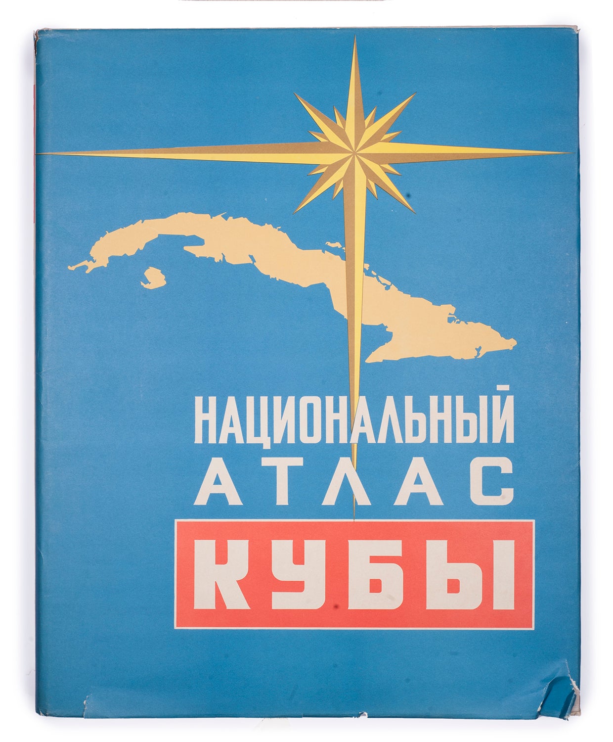
[CUBA] Natsional’nyy atlas Kuby [i.e. National Atlas of Cuba]
Havana: 1970. Item #1079
[8], 132, [11] pp.: ill., maps. 49x39 cm. In original publisher’s cardboards with dust-wrapper. Minor tear of the dust jacker otherwise good. Scarce. Text in Russian. Scales of the maps vary from 1: 75,000 to 1:170,000,000.
THE FIRST NATIONAL ATLAS OF CUBA PRODUCED WITH THE JOINT EFFORTS OF THE SOVIET UNION AND CUBA.
After Fulgencio Batista’s (President of Cuba) overthrow in 1959, the leader of the newly-established Communist state, Fidel Castro (1926-2016), sought a closer relationship with the Soviet Union. From the 1960s on, ties between the two countries gradually strengthened, as the USSR provided Cuba with both financial and military aid. The realm of cooperation between the states covered the scientific and geographical fields as well -on April 27, 1965, a program of the First National Atlas of Cuba developed by the Soviet-Cuban scientific group was officially approved. The urgent need to create an atlas was dictated by the tasks of reconstructing the economy of Cuba on a scientific basis, which required an accurate knowledge of the country’s resources and its production base.
The National Atlas of Cuba was an outcome of the 4-year long collaboration between the Institute of Geography of the Academy of Sciences of the USSR and the Academy of Sciences of Cuba. In 1965-1968, Soviet and Cuban scientists conducted expeditionary research in all regions of the fellow Communist state. From the middle of 1968, after the maps were ready, work on the compilation, editing, and publication of the atlas began in the USSR. The atlas, which came out separately in Russian and Spanish, marked an important step in the study of the country.The atlas contains more than 100 detailed color maps, providing a comprehensive scientific assessment of the natural conditions and resources of Cuba. The maps are organized in accordance with 5 main sections: general geographical maps, natural maps, economic maps, population and culture maps, and historical maps. Among the material presented in the edition are maps concentrating on different provinces, types of coasts, tectonics of the Caribbean region, vegetation, zoogeographic regionalization, ocean currents, epicenters of earthquakes, endemism in flora, geochemical regionalization of soils, agricultural and livestock production of the state sector, mining-metallurgical and chemical industries, fishing areas, labor force in agriculture, etc. The atlas elucidates different sectors of the Cuban economy, both old (sugar and tobacco industry) and new ones (water industry) and offers detailed insights into the late 1960s Cuba. The edition also includes various texts overviewing the climate, fauna, agriculture, the state of economics, population, education, transport, tourism, television, libraries, theatres and places of entertainment, etc., of the country. The atlas ends with the historical section that includes maps depicting Cuba on old maps, geographic explorations of the country in XV, XVI, XVII centuries, as well as armed uprisings and revolutionary struggle of Cubans. The authors of the First National Atlas of Cubawere honored with the 1973 USSR State Prize in science and technology.
The second and third national atlases of Cuba were printed in 1979 and 1989 respectively.
Sold