![Item #1094 [BEFORE CHERNOBYL] Lotsmanskaia karta Kievskogo vodokhranilishcha, r. Dnepr ot Liubecha do Komarina i r. Pripiat’ ot Usovskogo plesa do Chernobylia [i.e. Navigation Chart of Kiev Reservoir, Dnieper River from Liubech to Komarin and Prypiat River from Usov to Chernobyl]](https://bookvica.cdn.bibliopolis.com/pictures/1094.jpg?width=768&height=1000&fit=bounds&auto=webp&v=1604431847)
![[BEFORE CHERNOBYL] Lotsmanskaia karta Kievskogo vodokhranilishcha, r. Dnepr ot Liubecha do Komarina i r. Pripiat’ ot Usovskogo plesa do Chernobylia [i.e. Navigation Chart of Kiev Reservoir, Dnieper River from Liubech to Komarin and Prypiat River from Usov to Chernobyl]](https://bookvica.cdn.bibliopolis.com/pictures/1094_2.jpg?auto=webp&v=1604431847)
![[BEFORE CHERNOBYL] Lotsmanskaia karta Kievskogo vodokhranilishcha, r. Dnepr ot Liubecha do Komarina i r. Pripiat’ ot Usovskogo plesa do Chernobylia [i.e. Navigation Chart of Kiev Reservoir, Dnieper River from Liubech to Komarin and Prypiat River from Usov to Chernobyl]](https://bookvica.cdn.bibliopolis.com/pictures/1094_3.jpg?auto=webp&v=1604431847)
![[BEFORE CHERNOBYL] Lotsmanskaia karta Kievskogo vodokhranilishcha, r. Dnepr ot Liubecha do Komarina i r. Pripiat’ ot Usovskogo plesa do Chernobylia [i.e. Navigation Chart of Kiev Reservoir, Dnieper River from Liubech to Komarin and Prypiat River from Usov to Chernobyl]](https://bookvica.cdn.bibliopolis.com/pictures/1094_4.jpg?auto=webp&v=1604431847)
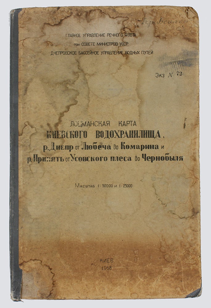
[BEFORE CHERNOBYL] Lotsmanskaia karta Kievskogo vodokhranilishcha, r. Dnepr ot Liubecha do Komarina i r. Pripiat’ ot Usovskogo plesa do Chernobylia [i.e. Navigation Chart of Kiev Reservoir, Dnieper River from Liubech to Komarin and Prypiat River from Usov to Chernobyl]
Kiev: Kartofabrika VMF, 1968. Item #1094
[2] pp., 13 double-page charts. 50x33 cm. In original cardboards. Very good and clean internally. Covers rubbed and bumped, with water stains on them and endpapers, with small fragments of cover paper lost. The previous owner’s corrections on some leaves.
For inner circulation only. Copy #72. Сompiled by Ukrgiprorechtrans, edited by B. Kistanov. Three charts of the Kiev reservoir are 1:50 000 scale, nine charts showing parts of the Dnieper and Prypiat rivers are 1:25 000 scale. The general scheme of leave combination is 1:200 000 scale and contains a legend.
The book shows the natural conditions of Prypiat and Dnieper rivers and the Kiev reservoir before construction and commission of the Chernobyl Nuclear Power Plant and its notorious catastrophe.
The Pripyat river feeds into the Dnieper river, forming the large reservoir supplied water to Kiev residents. Due to the unprecedented disaster in 1986, air, water and soils were polluted to a varying degree. Hydrological changes occurred near that reactor, but also numerous kilometers around. Thousands of people were evacuated from settlements indicated along the rivers.
Just like the Volga, these river flows were straightened for needs of the Soviet shipping, as well as construction of the power plant, in the 1970-1980s. The nuclear town Prypiat was founded in 1970 to serve the plant. Apart from the settlement, a cooling pond was created. This copy includes the previous owner’s correction of river flows and symbols’ locations.
The restoration of regular navigation on the Pripyat river has been discussed in recent years. One of the conditions is deepening the river bed that may lift radionuclides again.
Worldcat doesn’t track this edition.
Price: $950.00